Log in
All resources
Create a design
35,787 Free Images of 1815 Maps
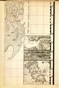
maps in the library of congress
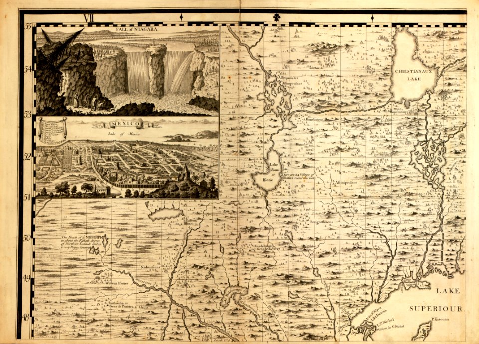
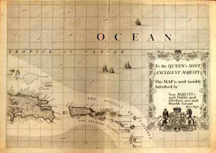
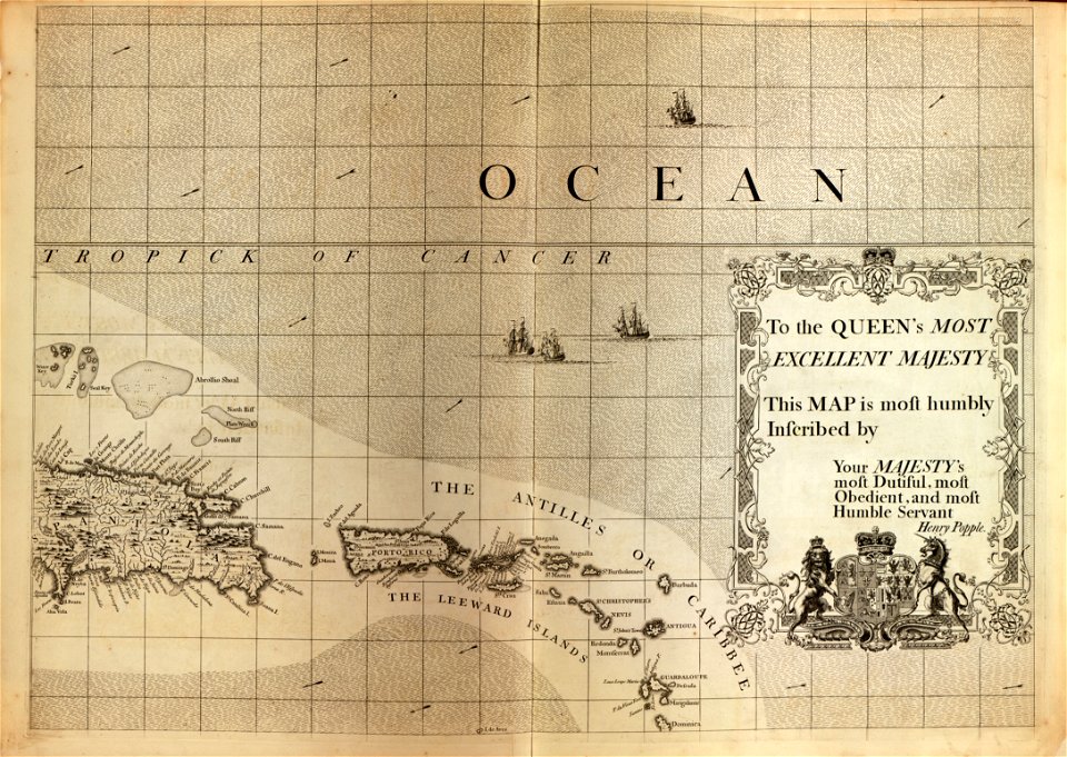
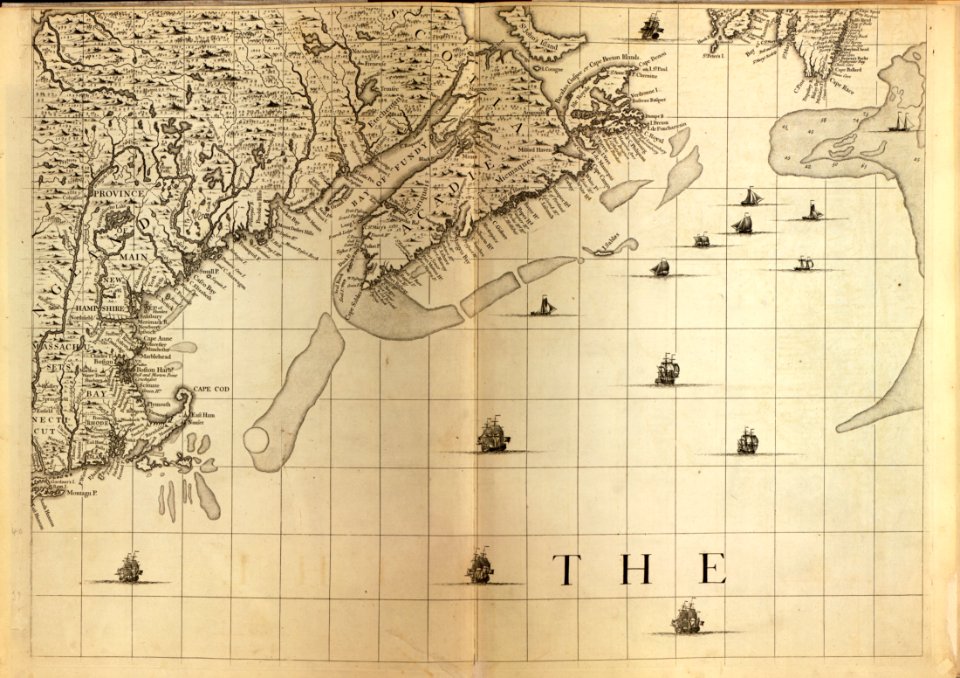
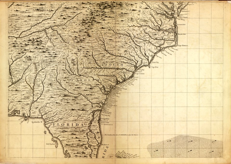
a map of the british empire in america with the french and spanish settlements adjacent thereto
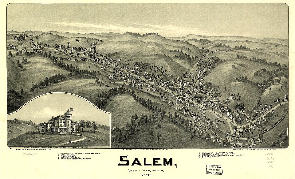
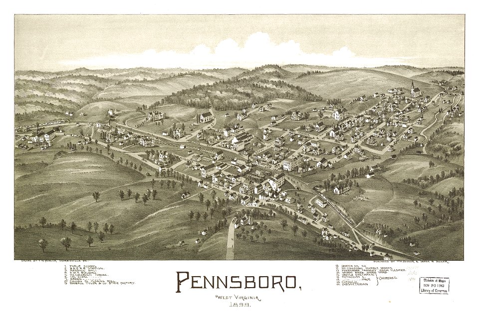
west virginia
1899 maps of west virginia
cornell: persuasive cartography: the pj mode collection
maps by sebastian münster
gerard valck
pennsboro
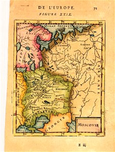
description de l'universe
alain manesson-mallet
italian riviera
1773
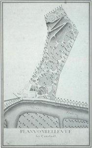
schloss rosenstein
maps of stuttgart
west virginia
salem
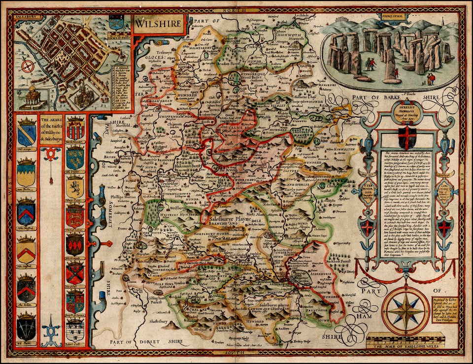
county maps of england by john speed
john speed
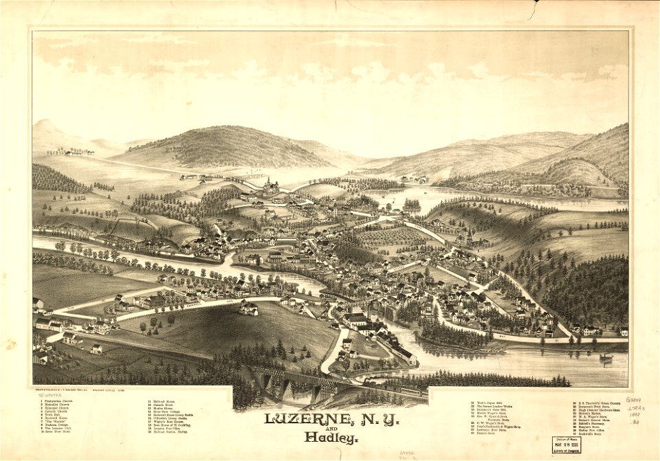
new york
hadley
maps in the library of congress
west virginia
maps in the library of congress
west virginia
die kunstdenkmäler des kreises konstanz (1887)
maps of baden-württemberg
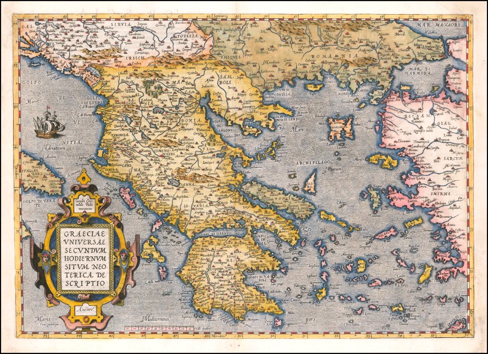
old maps of the peloponnese
maps by coronelli
description de l'universe
alain manesson-mallet
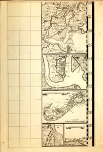
maps in the library of congress
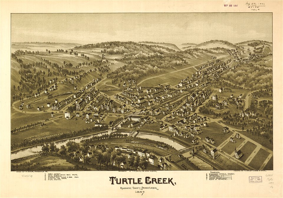
pennsylvania
maps in the library of congress
pennsylvania
description de l'universe
alain manesson-mallet
engravings by matthäus merian
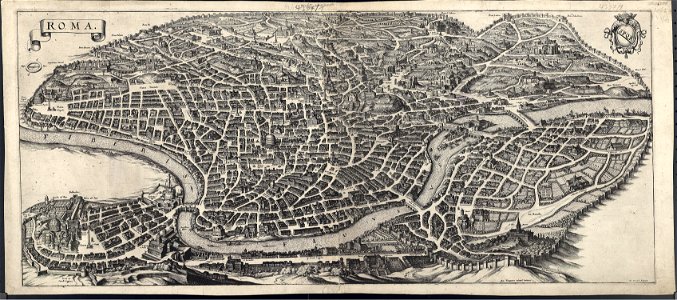
old maps of rome
giuseppe rosaccio
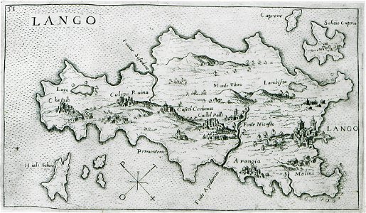
old maps of kos
volume 2 of le tour du monde
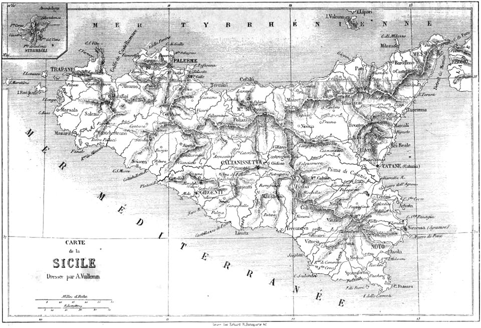
maps by alexandre vuillemin
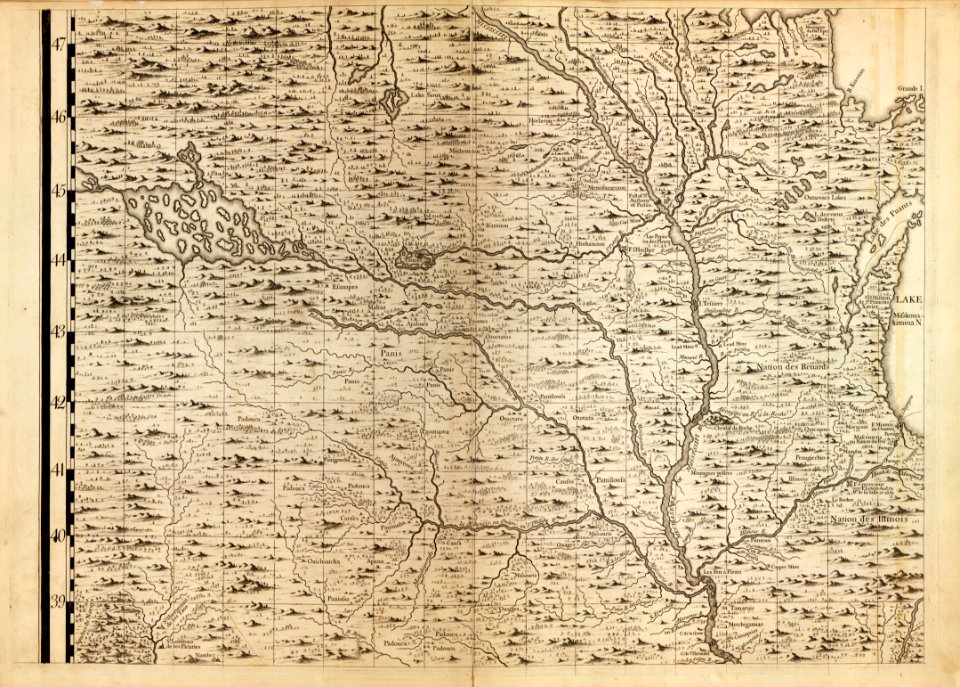
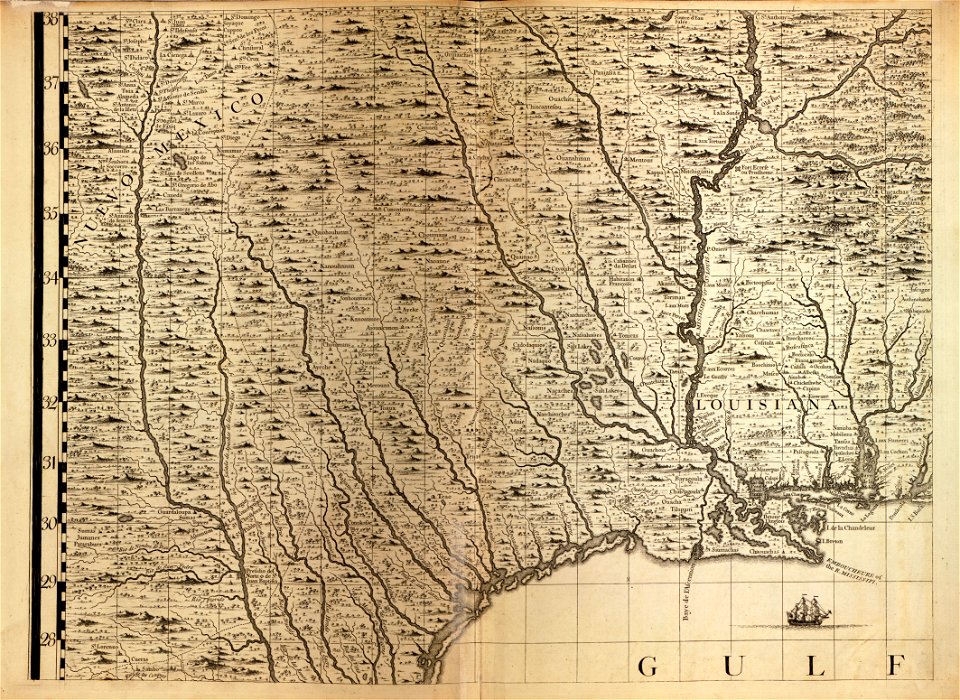
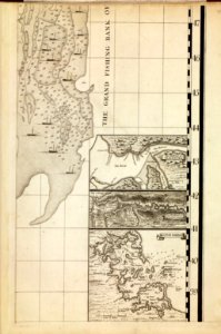
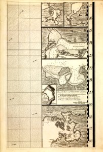
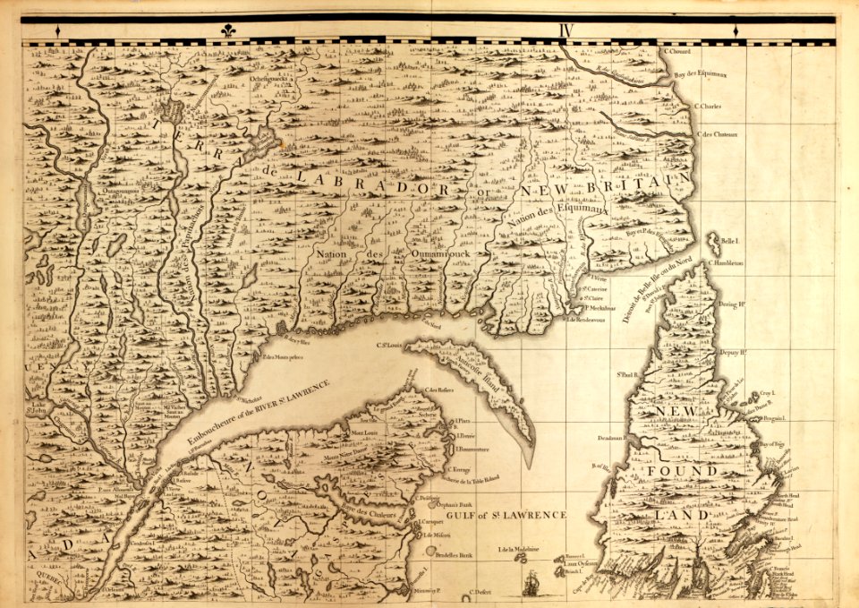
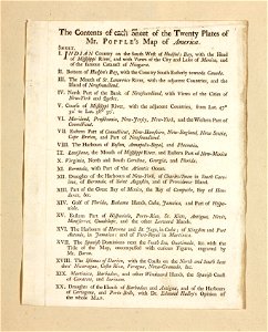
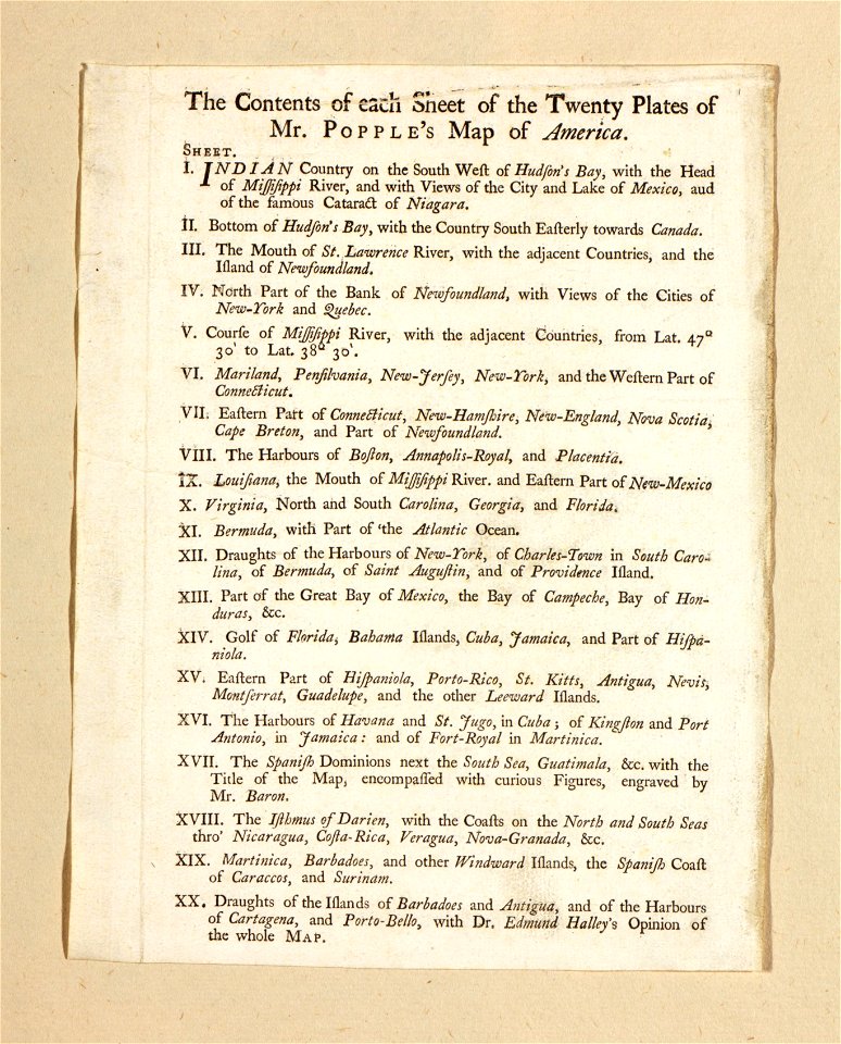
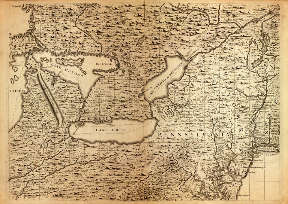
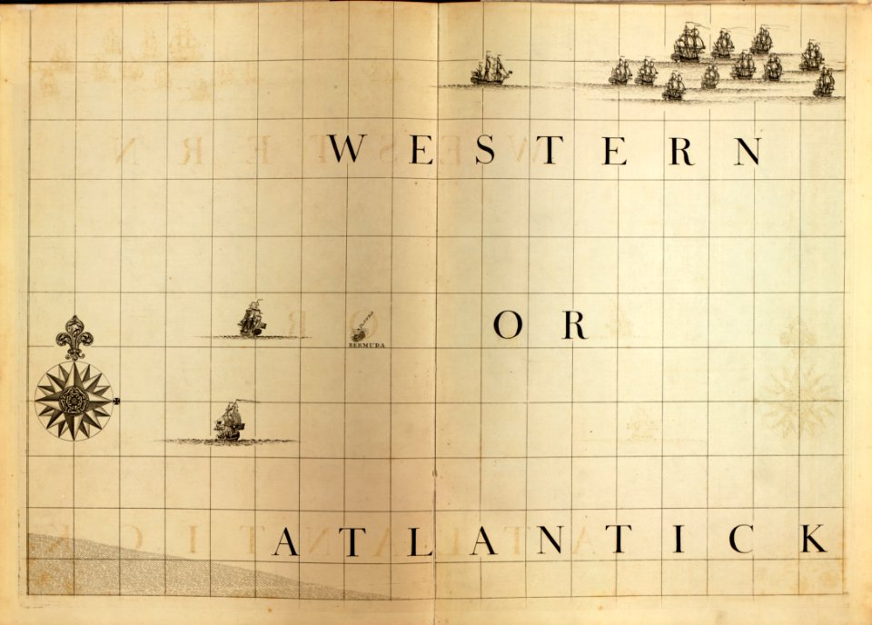
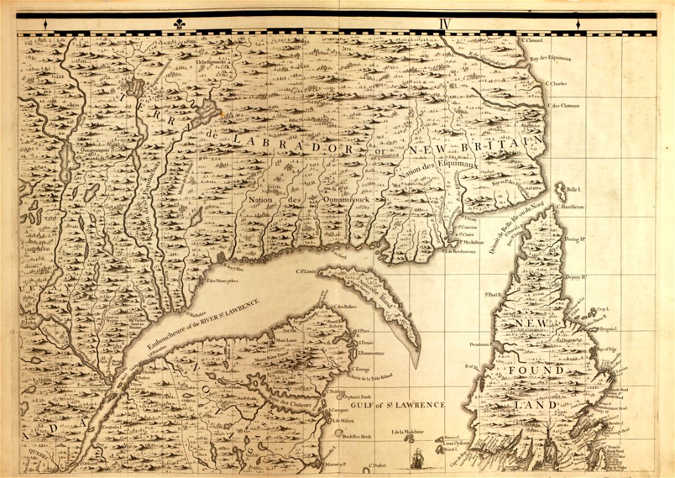
a map of the british empire in america with the french and spanish settlements adjacent thereto
maps in the library of congress
a map of the british empire in america with the french and spanish settlements adjacent thereto
maps in the library of congress
a map of the british empire in america with the french and spanish settlements adjacent thereto
maps in the library of congress
a map of the british empire in america with the french and spanish settlements adjacent thereto
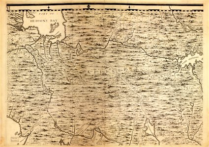
maps in the library of congress
a map of the british empire in america with the french and spanish settlements adjacent thereto
maps in the library of congress
a map of the british empire in america with the french and spanish settlements adjacent thereto
maps in the library of congress
a map of the british empire in america with the french and spanish settlements adjacent thereto
maps in the library of congress
a map of the british empire in america with the french and spanish settlements adjacent thereto
maps in the library of congress
a map of the british empire in america with the french and spanish settlements adjacent thereto
maps in the library of congress
a map of the british empire in america with the french and spanish settlements adjacent thereto
maps in the library of congress
a map of the british empire in america with the french and spanish settlements adjacent thereto
maps in the library of congress
a map of the british empire in america with the french and spanish settlements adjacent thereto
maps in the library of congress
a map of the british empire in america with the french and spanish settlements adjacent thereto
maps in the library of congress
a map of the british empire in america with the french and spanish settlements adjacent thereto
maps in the library of congress
a map of the british empire in america with the french and spanish settlements adjacent thereto
maps in the library of congress
a map of the british empire in america with the french and spanish settlements adjacent thereto
maps in the library of congress
a map of the british empire in america with the french and spanish settlements adjacent thereto
maps in the library of congress
a map of the british empire in america with the french and spanish settlements adjacent thereto
maps in the library of congress
a map of the british empire in america with the french and spanish settlements adjacent thereto
maps in the library of congress
a map of the british empire in america with the french and spanish settlements adjacent thereto
maps in the library of congress
a map of the british empire in america with the french and spanish settlements adjacent thereto
maps in the library of congress
a map of the british empire in america with the french and spanish settlements adjacent thereto
maps in the library of congress
a map of the british empire in america with the french and spanish settlements adjacent thereto
maps in the library of congress
a map of the british empire in america with the french and spanish settlements adjacent thereto
maps in the library of congress
a map of the british empire in america with the french and spanish settlements adjacent thereto
maps in the library of congress
a map of the british empire in america with the french and spanish settlements adjacent thereto
maps in the library of congress
a map of the british empire in america with the french and spanish settlements adjacent thereto
maps in the library of congress
a map of the british empire in america with the french and spanish settlements adjacent thereto
maps in the library of congress
a map of the british empire in america with the french and spanish settlements adjacent thereto
maps in the library of congress
a map of the british empire in america with the french and spanish settlements adjacent thereto
maps in the library of congress
a map of the british empire in america with the french and spanish settlements adjacent thereto
maps in the library of congress
a map of the british empire in america with the french and spanish settlements adjacent thereto
maps in the library of congress
a map of the british empire in america with the french and spanish settlements adjacent thereto
maps in the library of congress
a map of the british empire in america with the french and spanish settlements adjacent thereto
maps in the library of congress
joan blaeu
old map
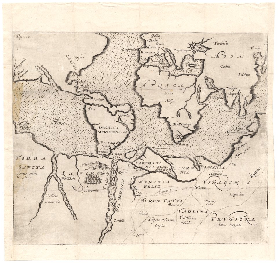
cornell: persuasive cartography: the pj mode collection
cornell university library
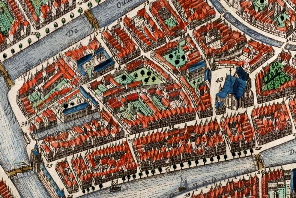
old maps of île de la cité
île de la cité in art
map of paris by claes jansz. visscher - derivate files
churches in paris on the maps
world map
project
theodor de bry
amazon
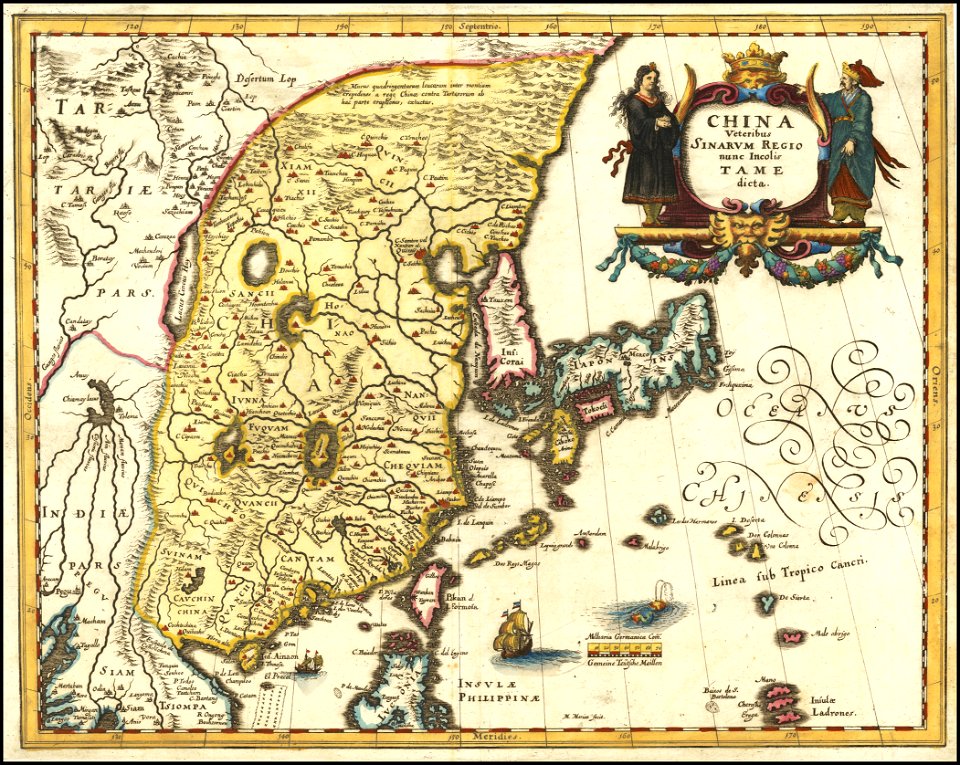
old maps of india
old maps of tibet
university of toronto wenceslas hollar digital collection
hollar maps and plans of london
images from the bulgarian archives state agency
maps by sebastian münster
maps of the dutch east india company - madagascar
1635
maps of the dutch east india company - japan
1732
maximilien de béthune
duc de sully
maps made in the 18th century
gerard valck
maps made in the 17th century
gerard valck
cornell university library
puritan
horse-drawn buses in paris
historical buses in paris
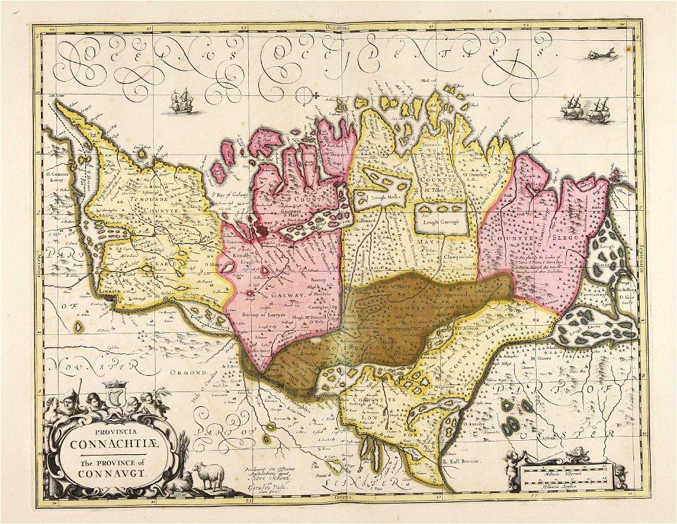
old maps of ireland
gerard valck
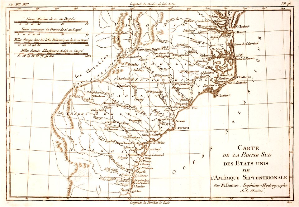
18th-century maps of north carolina
1780 maps
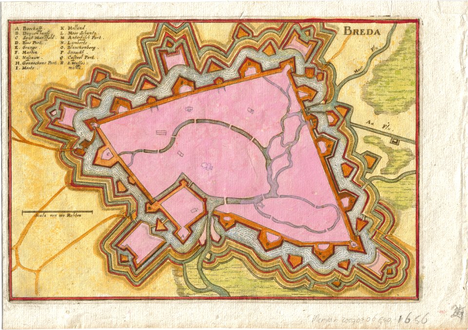
coats of arms of breda
netherlands
maps in utrecht university library
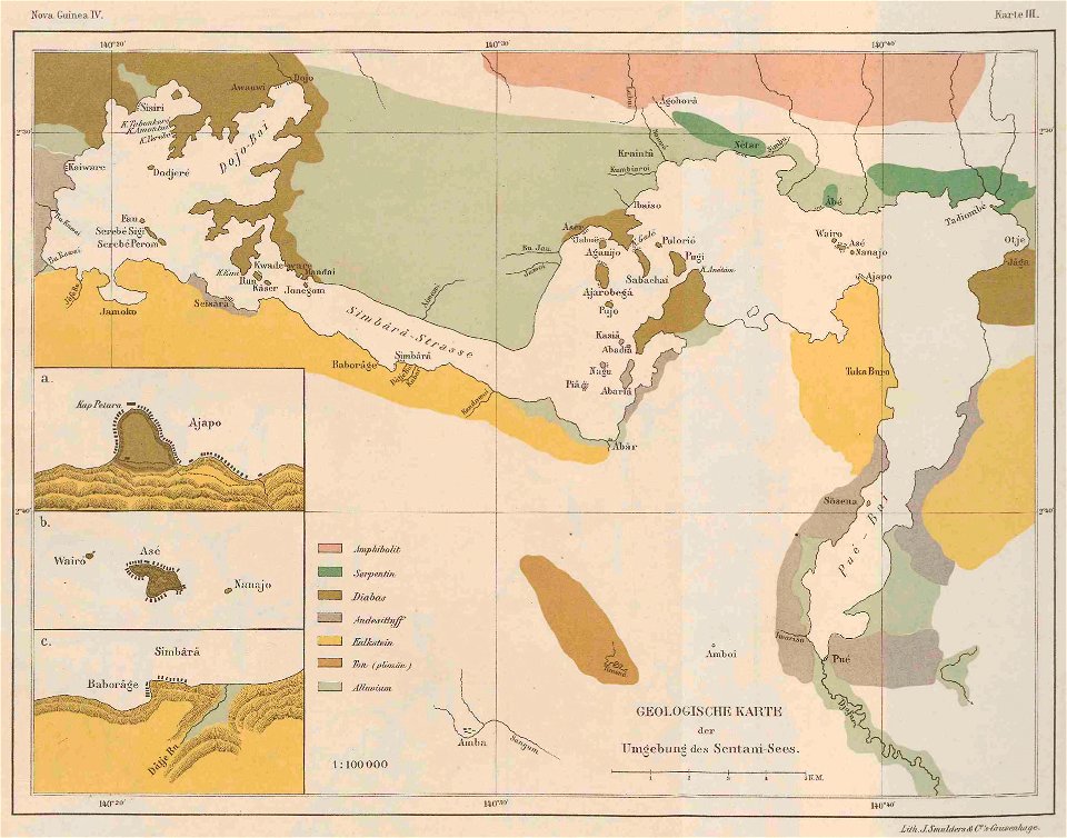
lake sentani
maps of sweden
strängnäs
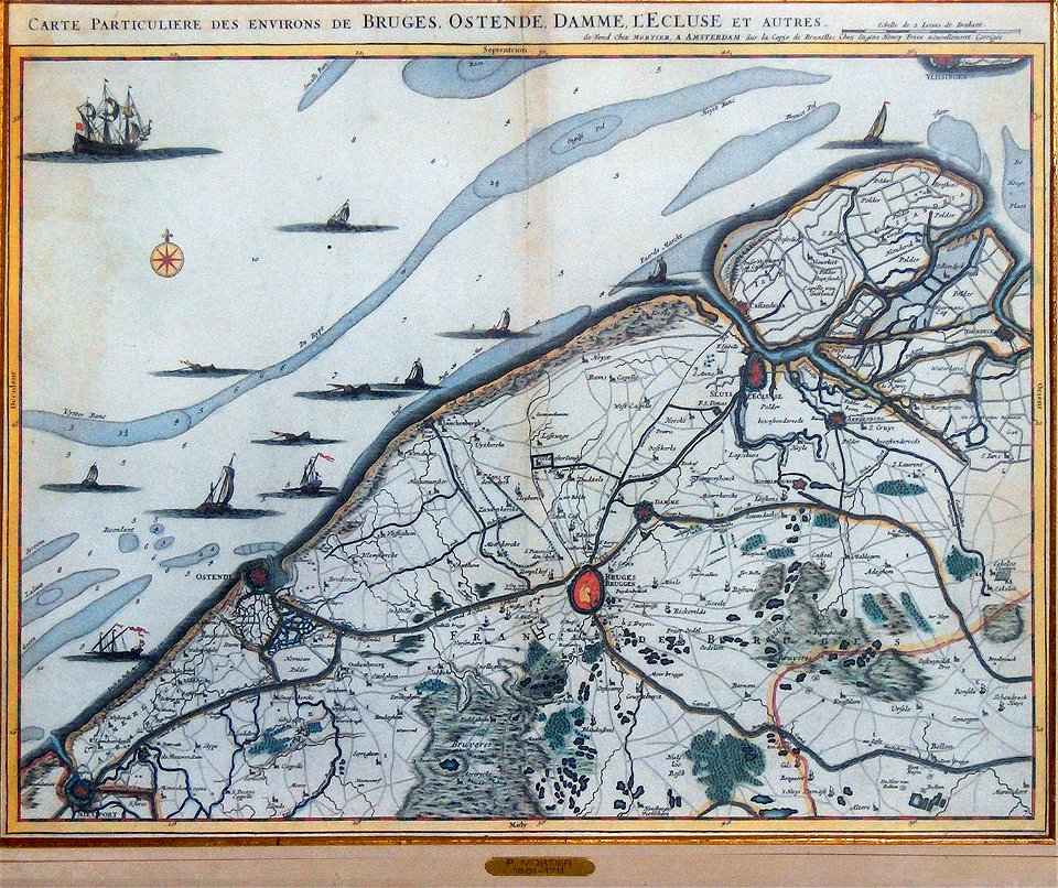
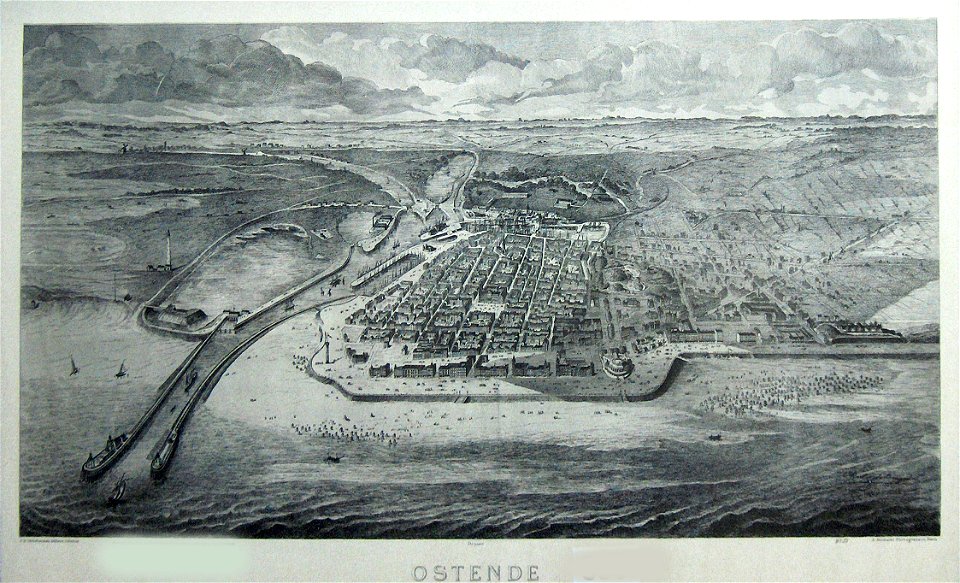
old maps of ostend
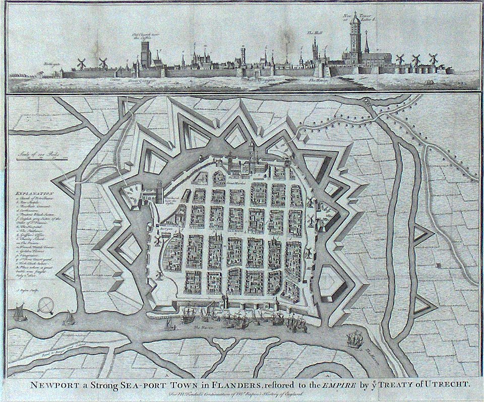
old maps of nieuwpoort
lepsius-projekt - maps
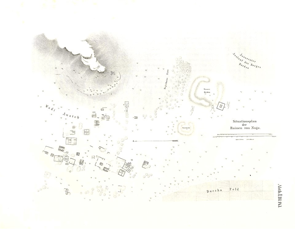
naqa
lepsius-projekt - maps
dimai
old maps of ostend
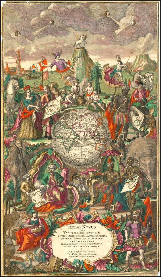
maps by matthäus seutter
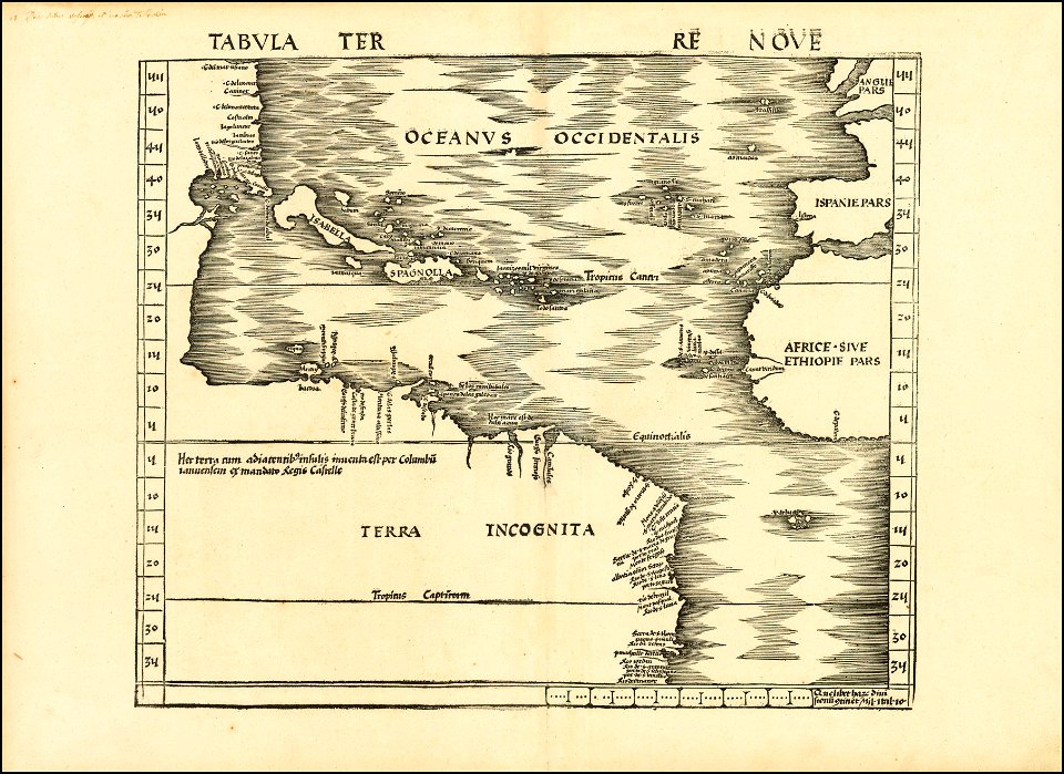
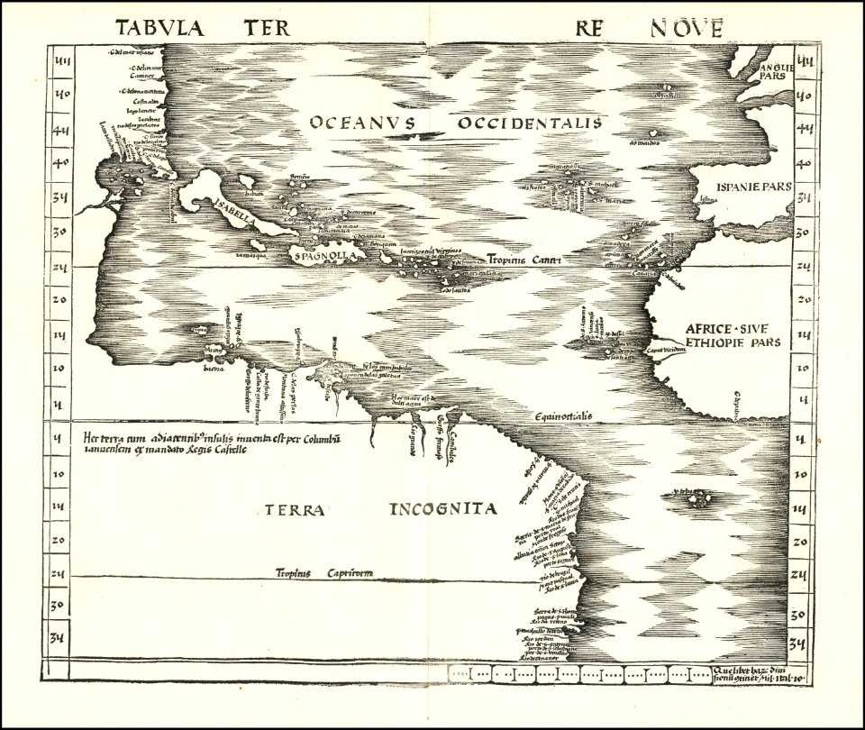
maps by martin waldseemüller
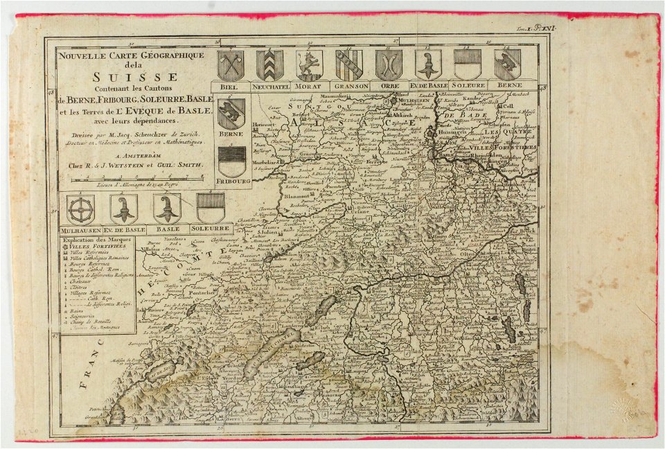
old maps of switzerland
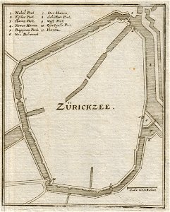
old maps of zierikzee
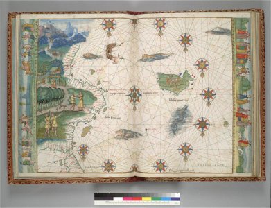
vallard atlas
1547 maps
maps by sebastian münster
maps by jodocus hondius
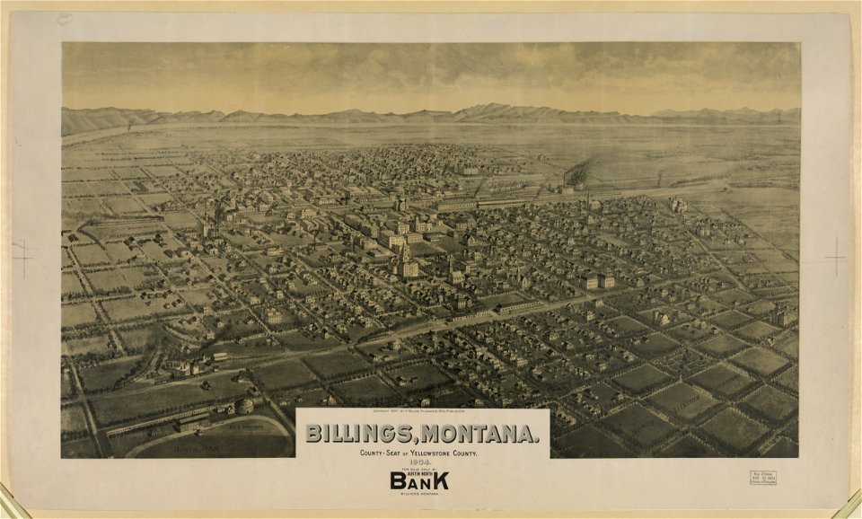
maps of billings
montana
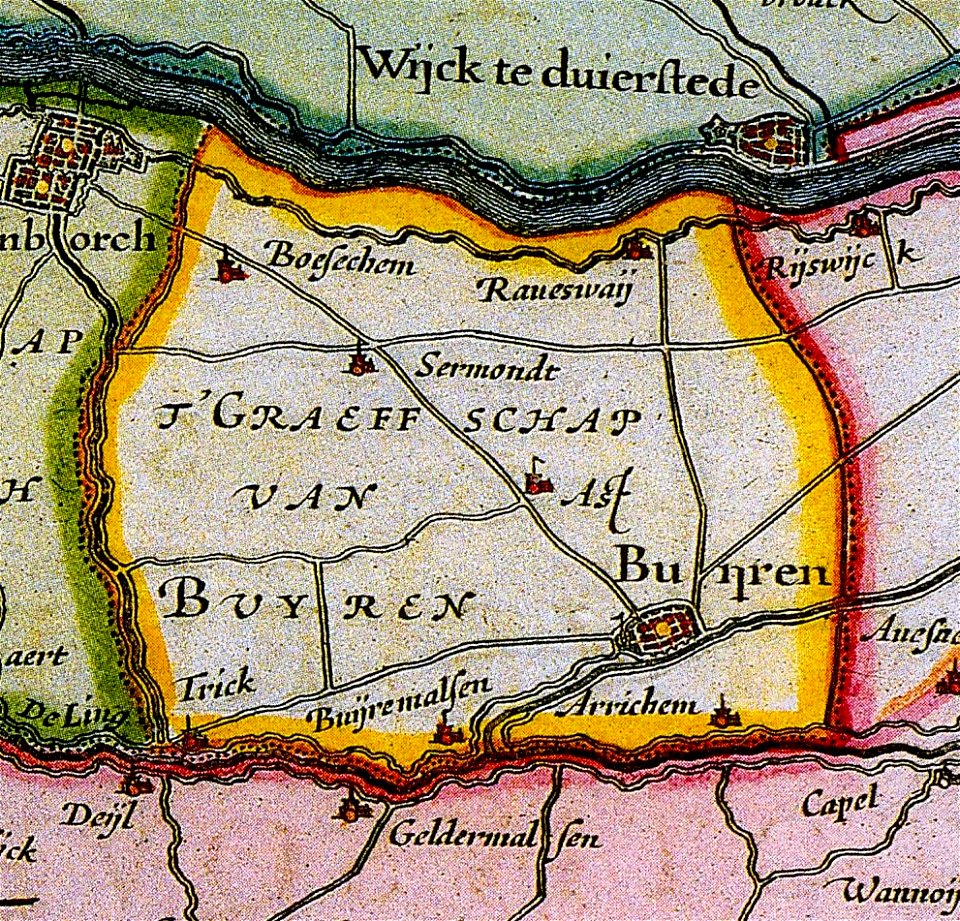
maps of buren
gelderland
maps by matthäus seutter
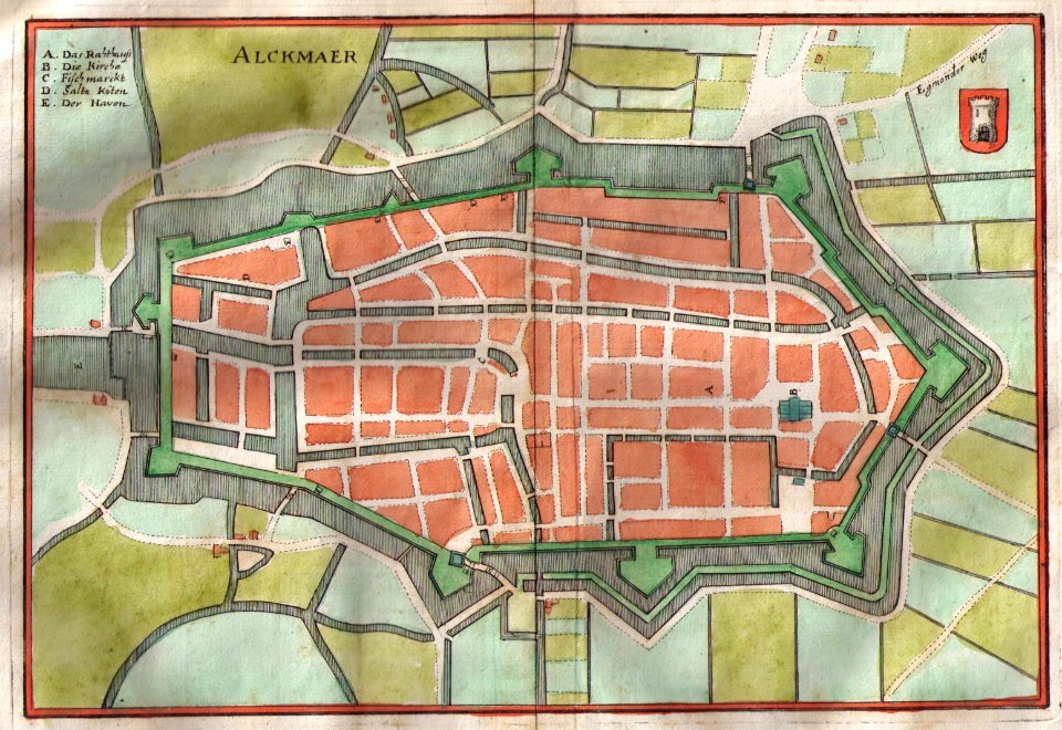
old maps of alkmaar
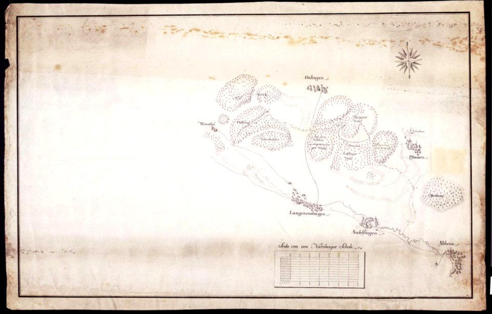
maps of württemberg
langenenslingen
maps of württemberg
langenenslingen
old maps of breda
old maps of anjouan
matthäus merian
1636 maps
maps by sebastian münster
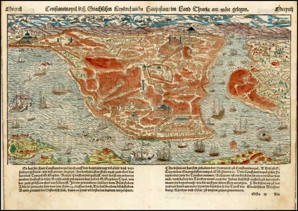
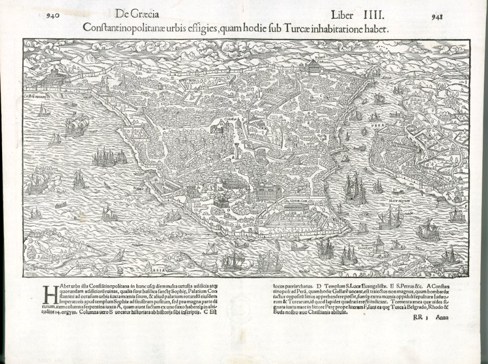
old maps of istanbul
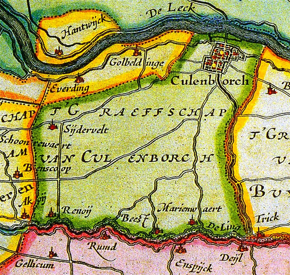
old maps of culemborg
maps by abraham ortelius
maps by martin waldseemüller
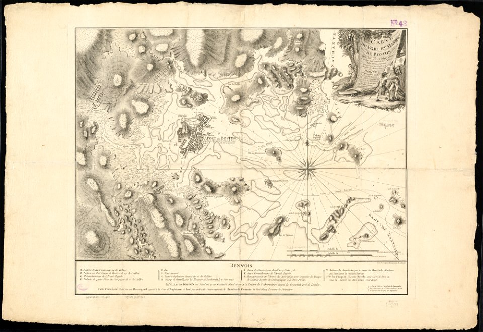
1776 maps of boston
old maps of leiden
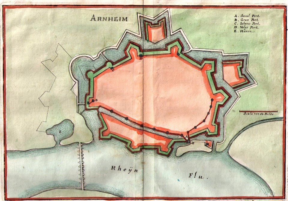
old maps of arnhem
4501 - 4600 of 35,787
Next page
/ 358